Business Details
Professional Land Surveying Services in Cumming, GA
Accurate Surveying and Planning has established itself as a trusted provider of professional land surveying services across Georgia and North Carolina. Our team of highly trained, registered land surveyors delivers comprehensive solutions for residential, commercial, and government clients, from initial planning to final as-built surveys. With a focus on boundary disputes, FEMA flood map updates, and site planning, we combine 21st-century technology with old-fashioned customer service to address unique client needs. Over 90% of our business comes from referrals, reflecting our commitment to timely service, competitive rates, and meticulous attention to detail.We specialize in resolving property line conflicts, preparing elevation certificates, and providing certified surveys for permits and legal documentation. Our electronic delivery of surveys in multiple formats ensures seamless collaboration with engineers and architects. By maintaining direct communication with clients and prioritizing rapid response times, we help homeowners, developers, and municipalities protect their property investments through precise, legally recognized surveying expertise.
Services
Boundary Disputes
Fence Installation Surveys
FEMA Flood Map Updates
Alcoholic Beverage Permit Plans
Elevation Certificates
Highlights and features
- We resolve boundary disputes with registered land surveyors and rapid response times
- Our team provides certified surveys for FEMA flood insurance requirements
- We deliver electronic survey files compatible with engineering and architectural software
- Our services prevent costly property line encroachments during construction projects
- We offer 24-hour turnaround for alcoholic beverage permit site plans
What people say
Thorough, fast turnaround
Attention to detail
Professional service
Best rate
Detailed color drawing
Services
Boundary Disputes
Our registered land surveyors resolve property line conflicts by locating original monuments and providing certified documentation. We work with homeowners and attorneys to prevent encroachments during construction projects. Our surveys protect property investments through mathematically confirmed boundary determinations.
FEMA Flood Map Updates
We prepare elevation certificates and electronic map amendments to challenge flood zone designations. Our surveys document building elevations relative to base flood levels, helping property owners reduce or eliminate mandatory flood insurance requirements through official FEMA documentation.
Fence Installation Surveys
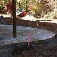
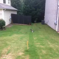
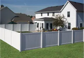
We flag property corners and provide survey reports to ensure fences remain within legal boundaries. Our pre-installation surveys prevent costly corrections by identifying exact property lines before construction begins, saving clients from expensive fence relocations.
Alcoholic Beverage Permit Plans
We create detailed site plans showing distances to sensitive locations for alcohol license applications. Our surveys meet municipal requirements with precise measurements to schools, churches, and public spaces, typically completed within 24 hours for urgent permit submissions.
Elevation Certificates
Our certified elevation certificates document building elevations for flood insurance purposes. We measure critical structure points relative to floodplain benchmarks, providing official documentation required by lenders and insurance providers to determine risk classifications.
Questions
What services do you provide for property boundary disputes?
We locate original property corners, provide certified survey documentation, and help resolve encroachment issues with mathematically confirmed boundary determinations.
How can you help reduce flood insurance costs?
We prepare elevation certificates and FEMA map amendments by documenting building elevations relative to floodplain benchmarks to challenge inaccurate flood zone designations.
Do you offer emergency survey services?
We typically complete fence line surveys within 48 hours and provide 24-hour turnaround for alcoholic beverage permit site plans.
What areas do you service?
We serve Forsyth County, Gwinnett County, Fulton County, and all metro Atlanta areas including Lake Lanier and North Carolina regions.
How do you deliver survey results?
We provide certified paper surveys and electronic files in PDF, DWG, DXF, and other formats compatible with engineering and architectural software.