Business Details
Professional Land Surveying Services in Charleston, SC
Kennerty Surveying has established itself as a trusted leader in land surveying services for over two decades. Our team combines extensive technical expertise with deep local knowledge of Charleston and surrounding regions. Founded by Lawrence J. Kennerty Jr., a licensed professional land surveyor since 1989, our firm brings decades of combined experience from both private practice and public service in Charleston County's Planning & Public Works Department. We serve residential, commercial, and governmental clients across Greater Charleston, including Johns Island, Edisto, Folly Beach, Hollywood, Ravenel, Meggett, West Ashley, and the counties of Colleton, Berkeley, and Dorchester. Our professionals maintain active memberships in the SC Society of Professional Land Surveyors and Coastal Chapter organizations, ensuring adherence to the highest industry standards.We specialize in a comprehensive range of surveying disciplines, from boundary and topographic surveys to specialized FEMA elevation certifications and wetland delineation. Our commitment to precision and quality is demonstrated through our licensed and insured operations, which incorporate advanced GPS and construction stakeout technologies. We maintain strong community ties through our involvement with the Edisto Island Chamber of Commerce and professional associations. Our track record of accurate, reliable surveying services has made us a preferred choice for property owners, developers, and municipalities throughout the region. This combination of technical excellence, local expertise, and professional integrity continues to drive our success in meeting clients' surveying needs.
Services
ALTA/ACSM Surveys
Boundary Surveys
Construction Stakeout
FEMA Certificates
Topographic Surveys
Wetland Delineation
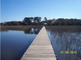
Dock Permits
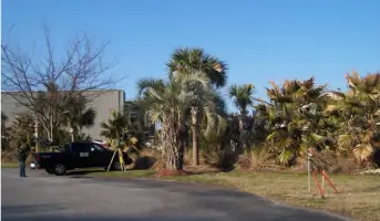
Tree Surveys
Cemetery Surveys
Highlights and features
- We have over 20 years of local surveying experience in Charleston and surrounding counties
- Our owner holds a civil engineering technology degree and 30+ years of professional surveying experience
- We serve 9 coastal South Carolina counties including Charleston, Colleton, and Dorchester
- Our team includes former Charleston County public works professionals with local regulatory expertise
- We maintain active memberships in state and local professional surveyors associations
Services
Boundary Surveys
Our boundary surveys precisely determine property lines using advanced GPS technology and historical records. This service helps property owners resolve disputes, prepare for development, or establish legal boundaries. Our experienced surveyors ensure compliance with South Carolina land regulations while maintaining high accuracy standards.
Topographic Surveys
We create detailed topographic maps showing natural and man-made features for development planning. Our surveys include elevation data, vegetation patterns, and existing structures to support construction projects. This information proves essential for engineers and architects designing site-specific solutions.
FEMA Elevation Certificates
Our certified professionals complete FEMA elevation certificates for flood insurance requirements. This service involves precise elevation measurements relative to flood zones, helping property owners obtain accurate insurance rates. We maintain up-to-date knowledge of changing floodplain regulations in coastal South Carolina.
Construction Stakeout
We provide construction stakeout services to guide accurate building placement and grading. Our surveyors mark critical points for foundations, utilities, and infrastructure according to approved plans. This ensures proper alignment and compliance with local building codes during development projects.
Wetland Delineation
Our experts identify and map wetland boundaries following federal and state environmental regulations. This service helps developers understand land use restrictions while protecting sensitive ecosystems. We work closely with environmental agencies to ensure proper documentation for permitting processes.
People
Lawrence J. Kennerty Jr.
President / Owner
Licensed Professional Land Surveyor since 1989 with a civil engineering technology degree from Georgia Southern College. Served 15 years in Charleston County's Planning & Public Works Department before founding Kennerty Surveying. Active member of SC Society of Professional Land Surveyors and Coastal Chapter organizations.
Questions
What areas do you serve?
We serve Charleston and surrounding areas including Johns Island, Edisto, Folly Beach, Hollywood, Ravenel, Meggett, West Ashley, and the counties of Colleton, Berkeley, and Dorchester.
How long have you been in business?
Our owner has over 30 years of professional surveying experience, with the firm providing services in Charleston for more than two decades.
What survey types do you offer?
We provide ALTA/ACSM surveys, boundary surveys, topographic mapping, FEMA elevation certificates, construction stakeout, wetland delineation, dock permits, tree surveys, and cemetery surveys.
Are you licensed and insured?
Yes, we are fully licensed professional land surveyors and maintain proper insurance coverage for all our surveying operations.