Business Details
46 Years
experience
Professional Land Surveying & Engineering Services in Red Wing, MN
Established in 1980, Johnson & Scofield has built a reputation for delivering precise land surveying and civil engineering solutions across Minnesota and Wisconsin. Our team of licensed professionals combines decades of experience with advanced technology to provide boundary surveys, topographic mapping, flood elevation certifications, and infrastructure design. With offices in Red Wing, Hastings, Wabasha, and Winona, we offer personalized service tailored to residential, commercial, and municipal projects.Our commitment to accuracy and client collaboration ensures every project meets regulatory standards and exceeds expectations. As industry leaders, we maintain active involvement in local planning processes and uphold rigorous professional standards through continuous education and innovation.

Services
Land Surveying
Civil Engineering
Boundary Surveys
Topographic Surveys
Flood Surveys
Subdivision Platting
ALTA/ACSM Surveys
Construction Staking
As-Built Surveys
Details
- Year established: 1980
Highlights and features
- Licensed professionals with 40+ years of combined experience in surveying and engineering
- Four strategically located Minnesota offices serving regional project needs
- Comprehensive ALTA/ACSM surveys meeting commercial real estate requirements
- Integrated flood elevation certification and FEMA LOMA application expertise
- Customized topographic surveys supporting drainage and development planning
Services
Land Surveying
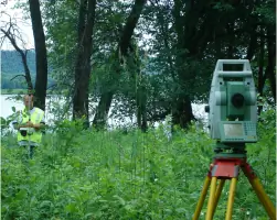
Our licensed surveyors establish precise property boundaries using advanced technology. We conduct boundary, topographic, and flood elevation surveys to support real estate transactions, construction projects, and land development. Clients receive detailed documentation including iron pipe monuments and certified survey drawings.
Civil Engineering
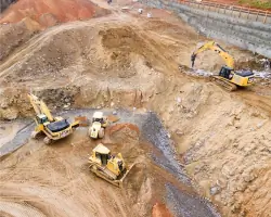
We create comprehensive construction drawings for roads, utilities, and drainage systems. Our engineers develop grading plans, perform hydrologic analysis, and provide project management for municipal and private developments. Services include on-site inspection and contract compliance certification.
Flood Surveys
FEMA-compliant flood elevation surveys determine base flood elevations for insurance purposes. We prepare elevation certificates and assist with LOMA applications to potentially remove properties from flood zones, reducing insurance costs for homeowners and businesses.
Subdivision Platting
We handle both minor and major subdivisions, preparing legal descriptions, topographic surveys, and utility plans. Our team coordinates with county planning offices to ensure compliance with zoning regulations and prepares final plats for recording.
ALTA/ACSM Surveys
These detailed surveys meet national standards for commercial real estate transactions. We document property boundaries, easements, improvements, and zoning information required by lenders and title insurers for comprehensive land title assessments.
Questions
What surveying services do you offer?
We provide boundary surveys, topographic mapping, flood elevation certifications, subdivision platting, and ALTA/ACSM surveys for residential, commercial, and municipal clients.
Do you serve areas outside Minnesota?
Yes, we serve Wisconsin clients from our Red Wing office and provide services throughout both states.
When do I need a boundary survey?
Boundary surveys are recommended for property purchases, fence installations, land disputes, and mortgage requirements to establish legal property lines.
Can you help with flood insurance requirements?
Yes, we conduct FEMA-compliant flood elevation surveys and assist with LOMA applications to potentially remove properties from flood zones.
What civil engineering services are available?
We offer infrastructure design including roadways, utility systems, drainage solutions, and construction management for public and private developments.