Business Details
42 Years
experience
Your Trusted Land Surveying Partner in Batavia, IL
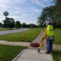
Johnson Western Surveying, Inc. has been a trusted leader in land surveying and civil engineering since 1984. Founded by Ken Seaholm, a former Geodesist for the Federal Government, and Terry Guthke, a US Army surveyor, our company was built on a foundation of precision and technical excellence. Our team combines decades of field experience with cutting-edge technology to deliver accurate boundary surveys, topographic mapping, construction staking, and ALTA/NSPS surveys. We serve clients across the Chicagoland area and Midwest, covering counties including Boone, Cook, DuPage, Kane, and Will. Our commitment to client collaboration ensures transparent communication throughout every project phase, from initial planning to final execution.With expertise honed through thousands of successful projects, we prioritize meticulous attention to detail while maintaining strict adherence to deadlines and budgets. Our technical capabilities span geodetic control, environmental engineering surveys, and FAA-compliant construction staking. As an industry-recognized firm, we maintain rigorous quality standards through continuous professional development and adoption of advanced surveying methodologies. Our reputation for reliability has been solidified through 40 years of delivering precise, code-compliant solutions that meet both regulatory requirements and client expectations.
Services
Boundary Surveys
Topographic Mapping
Construction Staking
ALTA/NSPS Surveys
E-LOMA Services
Details
- Year established: 1984
Highlights and features
- We offer 40 years of specialized surveying expertise since 1984
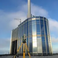
- Our team uses advanced geodetic technology for precise measurements
- We provide comprehensive service across 12+ Midwest counties
- Our process includes real-time client communication and collaboration
- We maintain strict quality control through continuous training
Services
Boundary Surveys
Our boundary surveys precisely determine property lines using advanced geodetic technology. We conduct lot retracements, easement determinations, and re-monumentation projects for residential and commercial properties. Our team provides accurate legal descriptions and state plane coordinate determinations that meet all regulatory requirements.
Topographic Mapping
We create detailed topographic maps showing natural and man-made features. Our surveys include elevation data, vegetation patterns, and utility locations. This information supports land development projects, environmental assessments, and infrastructure planning across urban and rural landscapes.
Construction Staking
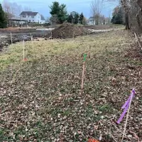
Our construction staking services ensure accurate project implementation. We provide curb and gutter staking, building layout, and utility installation guidance. Our team supports grading projects, road construction, and telecommunication tower placements with precise field markings and ongoing verification.
ALTA/NSPS Surveys
We conduct ALTA/NSPS surveys meeting American Land Title Association standards. These comprehensive boundary surveys include easement analysis, right-of-way determinations, and land title verification. Our reports support real estate transactions and title insurance requirements for commercial properties.
E-LOMA Services
Our E-LOMA services provide official elevation documentation for floodplain management. We prepare elevation certificates and support Letter of Map Amendment requests. These services help property owners obtain accurate flood risk assessments and insurance requirements.
People
Ken Seaholm
Founder
Co-founder with 40+ years of geodetic surveying experience. Former Federal Government Geodesist who pioneered precision alignment techniques at Fermilab. Maintains active industry certifications and technical oversight of complex projects.
Terry Guthke
Co-founder
Licensed professional surveyor with military and civilian engineering expertise. Served as US Army surveyor before establishing Johnson Western Surveying. Specializes in construction staking and boundary dispute resolution across Midwest commercial developments.
Questions
What surveying services do you offer?
We provide boundary surveys, topographic mapping, construction staking, ALTA/NSPS surveys, and E-LOMA services for residential, commercial, and infrastructure projects.
Which areas do you serve?
We operate throughout Chicagoland and the Midwest, covering Boone, Cook, DuPage, Kane, Will, and 7 additional counties with field teams.
How can I request a quote?
Use our online quote form with property details, project specifications, and deadline information for accurate service estimation.
What makes your firm different?
Our 40-year legacy combines military-grade precision with advanced technology, supported by founders who developed Fermilab's alignment systems.
Do you handle commercial projects?
Yes, we specialize in commercial boundary determinations, construction staking, and ALTA/NSPS surveys for developers and title companies.