
Business Details
Your Trusted Land Surveying Partner in Rio Grande Valley, TX
Rio Delta Surveying has been delivering professional land surveying services across the Rio Grande Valley since 2002. Our team, led by a registered professional land surveyor with over 15 years of experience in civil engineering and surveying, specializes in boundary surveys, topographic mapping, and construction staking. We utilize advanced technology like GPS and drone LiDAR to ensure precision and efficiency in every project. Our services cater to individuals, engineers, architects, and municipalities, providing accurate data for property development and legal documentation. We prioritize building strong client relationships through transparent communication and cost-effective solutions tailored to specific project needs.Our written proposals clearly outline survey specifications, fee structures, and delivery schedules to ensure project success. With expertise in ALTA/ACSM standards and floodplain management, we deliver reliable results that meet regulatory requirements. Our commitment to leveraging cutting-edge tools like Trimble and Autodesk software positions us as a trusted partner for complex surveying challenges. We serve clients from Cameron County to Starr County, offering comprehensive services including subdivision platting, easement documentation, and 3D scanning. Our focus on technical excellence and client satisfaction has established us as a reputable firm in the land surveying industry.
Services
Boundary Survey
Topographic Surveys
ALTA/ACSM Surveys
Construction Staking
GPS Surveys
Ranch Surveys
Flood Certificates
Subdivision Platting
3D Scanning
Easement Surveys
Highlights and features
- We have over 15 years of experience in civil engineering and land surveying.
- Our team utilizes advanced GPS and drone LiDAR technology for precise measurements.
- We offer comprehensive services meeting ALTA/ACSM standards for commercial properties.
- Our written proposals ensure transparent fee structures and delivery schedules.
- We serve clients from Cameron County to Starr County with localized expertise.
Associations and certifications
- Texas Board of Professional Land Surveying
Services
Boundary Survey
We define property boundaries with precision to prevent disputes and ensure legal compliance. Our surveys meet regulatory requirements for construction, real estate transactions, and land development. Clients receive detailed documentation for ownership clarity and project planning.
Topographic Surveys
We capture land contours, elevations, and natural features for engineering projects. Our data supports drainage planning, earthwork calculations, and site development. Clients use these surveys for infrastructure design and environmental assessments.
ALTA/ACSM Surveys
We conduct comprehensive commercial property surveys meeting national standards. Our reports include boundary details, easements, and encroachments. Title companies and banks rely on these for risk assessment during property transactions.
Construction Staking
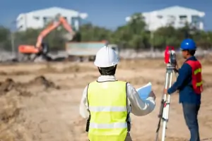
We mark precise locations for buildings, utilities, and roads to ensure accurate construction. Our staking guides contractors during project execution. Clients benefit from reduced errors and alignment with design specifications.
Drone LiDAR Surveys
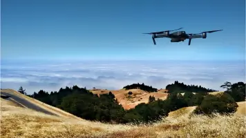
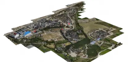
We use licensed drone pilots and LiDAR technology for efficient land mapping. Our aerial surveys produce high-resolution 3D data for large-scale projects. Clients gain faster data collection with minimal site disruption.
People
Mr. Gonzalez
Registered Professional Land Surveyor
Certified since 2002 with 15+ years in civil engineering and surveying. Holds expertise in boundary disputes, construction staking, and regulatory compliance. Leads the firm's technical operations and client relations.
Questions
What surveying services do you offer?
We provide boundary surveys, topographic mapping, ALTA/ACSM standards, construction staking, drone LiDAR, and flood certificates for residential and commercial clients.
Why is a land survey necessary?
Surveys prevent property disputes, ensure regulatory compliance, and provide accurate data for construction or real estate transactions. They document boundaries and land features legally.
Do you serve both individuals and businesses?
Yes, we work with homeowners, engineers, architects, municipalities, and commercial developers across the Rio Grande Valley region.
What technology do you use?
We employ GPS systems, drone LiDAR, 3D scanning, and software from Trimble and Autodesk to ensure precision and efficiency in all projects.
How long does a survey take?
Timelines vary by project complexity. We provide clear delivery schedules in written proposals. Contact us for specific project timelines and requirements.