Business Details
47 Years
experience
Trusted Civil Engineering & Surveying Services in Sacramento
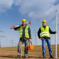
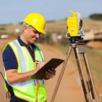
CNA Engineering has been a trusted name in civil engineering and surveying since 1979. Our team of experienced professionals leverages cutting-edge technology to deliver efficient, high-quality solutions for land planning, infrastructure development, and surveying projects. With nearly three decades of operation in Sacramento, California, we have built strong relationships with local government agencies across Northern California counties, ensuring streamlined permitting processes for our clients. Our commitment to innovation is demonstrated through early adoption of 3D data collection systems that enhance accuracy and efficiency in both topographic surveys and construction staking. We maintain a hands-on approach with every project, assigning dedicated managers to ensure personalized service and timely execution.Our expertise spans tentative parcel maps, zoning changes, street improvement plans, and FEMA elevation certifications, among other specialized services. By eliminating manual data entry, we achieve precise three-dimensional coordinates for all right-of-way features, surpassing traditional surveying methods. Our reputation for reliability and technical excellence has been earned through consistent delivery of projects that balance economic, environmental, and engineering considerations. We stand behind our work with a legacy of satisfied clients ranging from local developers to major industrial corporations. Our staff remains proficient in the latest design software, including AutoCAD Land Desktop Development and Civil 3D, ensuring modern solutions for complex engineering challenges.
Services
Land Planning
Civil Engineering
Boundary Survey
Construction Staking
FEMA Certification
Topographic Survey
Zoning Changes
Street Improvements
Lot Line Adjustments
Details
- Year established: 1979
Highlights and features
- We have nearly 30 years of local engineering expertise in Sacramento.
- Our team utilizes advanced 3D data collection technology for superior accuracy.
- We maintain strong working relationships with Northern California municipalities.
- Each project receives dedicated management from experienced professionals.
- Our staff stays current with the latest AutoCAD design software versions.
Services
Land Planning
Our land planning services encompass tentative parcel maps, lot line adjustments, zoning changes, and variance applications. We coordinate directly with municipal agencies to ensure regulatory compliance while optimizing land use for residential and commercial developments. Our planners have extensive experience navigating local government approval processes across Northern California counties.
Civil Engineering
We provide comprehensive civil engineering solutions including street improvement plans, drainage studies, and water distribution systems. Our engineers balance technical requirements with environmental considerations to create sustainable infrastructure solutions for public works projects and private developments throughout the Sacramento region.
Boundary Survey
Our boundary surveys utilize advanced 3D data collection systems to establish precise property lines and easement descriptions. This technology eliminates manual entry errors, providing exact three-dimensional coordinates for right-of-way features to support accurate land development and dispute resolution.
Construction Staking
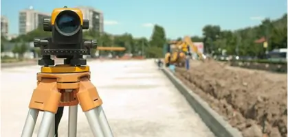
We deliver precise construction staking services using modern surveying technology to guide infrastructure development. Our team ensures accurate implementation of engineering plans through field verification and ongoing support during construction phases for various public and private projects.
FEMA Certification
Our FEMA elevation certifications provide critical floodplain management documentation for property owners and developers. These detailed surveys verify building elevations relative to flood risk zones, supporting insurance requirements and regulatory compliance for Northern California properties.
People
Chris Oliveira
Principal
Chris Oliveira leads engineering projects at CNA Engineering with over 30 years of experience in civil design and land development. He specializes in municipal infrastructure projects and regulatory compliance across Northern California.
Steve Norman
Principal
Steve Norman oversees surveying operations at CNA Engineering, bringing decades of expertise in boundary analysis and 3D data collection systems. He ensures technical excellence in all land surveying services provided to public and private clients.
Questions
What civil engineering services do you offer?
We provide street improvement plans, grading plans, drainage studies, and water distribution system designs for residential, commercial, and public works projects.
Do you handle land surveying projects?
Yes, we offer boundary surveys, topographic surveys, ALTA surveys, and construction staking using advanced 3D data collection technology.
Which areas do you serve?
We primarily serve Sacramento, El Dorado, Placer, Yolo, Sutter, and Nevada counties in Northern California.
How long have you been in business?
CNA Engineering has provided engineering and surveying services since 1979, with nearly 30 years operating in Sacramento.
What technology do you use?
We utilize 3D data collection systems and the latest AutoCAD design software to enhance accuracy and efficiency in all our projects.