Business Details
29 Years
experience
Expert Land Surveying Services in Temecula, CA
Dennis Janda provides expert land surveying, mapping, and GIS services to public and private sector clients across Southern California. Since 1997, our team has combined traditional disciplines like civil engineering and land planning with cutting-edge technology to deliver precise, client-focused solutions. Our professionals specialize in cadastral base mapping, topographic surveys, and ALTA/ASCM standards compliance. We support land development projects from tentative map design to final parcel mapping while adhering to strict budget and schedule requirements. Our GIS capabilities include enterprise-wide web hosting systems, data analysis, and exhibit preparation for municipal and utility district clients.With headquarters in Temecula, CA, we maintain certifications as a Professional Land Surveyor member of ACSM and Certified Federal Surveyor. Our 25+ years of experience ensure accurate data conversion, GPS field inventories, and digital terrain modeling tailored to project-specific needs. We serve both small-scale developments and large infrastructure projects with equal dedication to precision and client satisfaction. Our commitment to technological advancement ensures clients receive the most efficient and accurate surveying solutions available in the industry today.
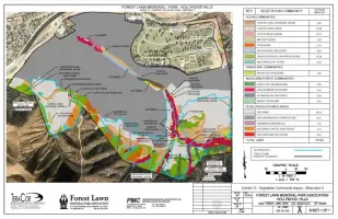
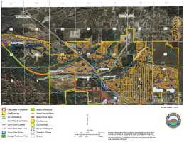
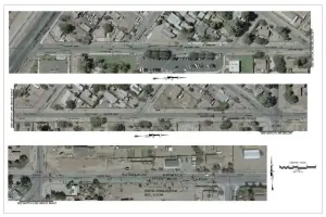
Services
Land Surveying
GIS Services
Mapping Services
Land Development
Cadastral Mapping
Topographic Mapping
Utility Mapping
Data Conversion
GPS Inventories
ALTA Surveys
Details
- Year established: 1997
Highlights and features
- 25+ years of combined experience in land surveying and civil engineering
- Utilize state-of-the-art GIS technology and equipment
- Specialize in ALTA/ASCM survey standards compliance
- Certified Professional Land Surveyors on staff
- Proven track record with public sector municipal projects
Associations and certifications
- American Congress on Surveying and Mapping
- Certified Small Business Enterprise
- Certified Federal Surveyor
Services
Land Surveying
Our land surveying services provide precise boundary determinations and property mapping. Using advanced GPS technology, we deliver ALTA/ASCM compliant surveys, lot line adjustments, and condominium plans. Our team ensures legal compliance through accurate records of surveys and corner records while supporting land development projects from tentative maps to final parcel mapping.
GIS Services
We offer comprehensive GIS solutions including web hosting systems, data analysis, and exhibit preparation. Our experts create enterprise-wide mapping systems for municipal clients and utility districts. Services include cadastral base mapping, digital orthophoto integration, and GPS field inventory data analysis to support informed land development decisions and infrastructure planning.
Mapping Services
Our mapping capabilities include topographic surveys, underground utility mapping, and digital terrain modeling. We produce detailed map books and conditional use permit exhibits while maintaining accurate COGO conversions and document scanning archives. These services support civil engineering projects with precise spatial data visualization and analysis.
Land Development
We provide full-cycle land development support from initial planning to final implementation. Our services include tentative map design, parcel mergers, and legal description preparation. By integrating surveying, mapping, and GIS data, we help clients meet project goals within budget while maintaining compliance with municipal regulations and engineering standards.
Data Conversion
Our data conversion services transform traditional survey records into digital formats. We specialize in COGO conversions, plan scanning, and historical data cataloging. This process preserves critical spatial information while making it accessible through modern GIS platforms, ensuring continuity between legacy projects and current technological capabilities.
People
Dennis Janda
Owner
With over 25 years of experience in land surveying and civil engineering, Dennis Janda leads the company's technical operations. He specializes in integrating traditional surveying methods with modern GIS technology to deliver precise mapping solutions for complex land development projects.
Questions
What geographic areas do you serve?
We primarily serve Southern California, including Temecula and surrounding regions, supporting both public sector municipalities and private land development projects.
What surveying standards do you follow?
Our services meet ALTA/ASCM standards for boundary surveys and comply with federal surveying requirements through our Certified Federal Surveyor status.
How do you handle large-scale mapping projects?
We combine traditional land surveying techniques with modern GIS technology to create enterprise-wide mapping systems for municipal clients and utility districts.
What land development services do you offer?
We support complete land development cycles including tentative map design, parcel mergers, legal descriptions, and final mapping documentation.
What certifications does your company hold?
We maintain certifications as Professional Land Surveyors through ACSM, Certified Small Business Enterprise status, and Certified Federal Surveyor designation.