Business Details
15 Years
experience
Professional Land Surveying Services in Cool, CA
Mathis Land Surveying has been providing professional land surveying services in Cool, CA since 2011. Our team of licensed and insured experts specializes in evaluating land for construction readiness, delivering precise data on topography, soil conditions, and utility compatibility. We utilize advanced equipment to create detailed reports that guide residential, commercial, and industrial projects. With decades of combined experience, we prioritize accuracy in boundary surveys, topographic mapping, and subdivision planning.Our commitment to quality ensures clients receive actionable insights for informed decision-making. We serve local developers, homeowners, and engineers with transparent communication and timely execution. Our reputation for integrity is reflected in client testimonials praising our thoroughness and competitive pricing. By focusing on technical excellence and customer satisfaction, we maintain our position as a trusted partner for land assessment needs.
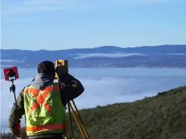

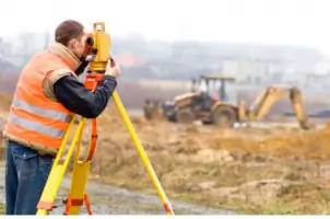
Services
Land Surveying
Boundary Surveys
Topographic Mapping
Subdivisions
Parcel Maps
Easements Documentation
Lot Line Adjustments
Details
- Year established: 2011
Highlights and features
- We have over 13 years of land surveying experience since 2011
- Our team uses modern surveying equipment for precise measurements
- We provide detailed reports covering topography and utility compatibility
- Licensed and insured professionals ensure regulatory compliance
- Client testimonials highlight our timely service and competitive pricing
What people say
Timely estimate
Reasonable pricing
Great honest job
Superb accuracy
Fabulous service
Services
Land Surveying
We conduct comprehensive land evaluations to determine construction viability. Our surveys analyze topography, soil stability, and utility compatibility for residential and commercial projects. Clients receive detailed reports with actionable data for informed property decisions.
Boundary Surveys
Our boundary surveys precisely define property limits using modern equipment. This service helps resolve disputes, plan improvements, and ensure compliance with local regulations. We document findings in clear, legally sound reports for homeowners and developers.
Topographic Mapping
We create detailed topographic maps showing elevation changes and natural features. These maps support construction planning and environmental assessments. Our digital deliverables integrate with engineering software for accurate project modeling.
Subdivisions
Our subdivision services help developers partition large tracts into buildable lots. We handle regulatory requirements and ensure proper infrastructure planning. Clients benefit from efficient processes that maintain property value and compliance.
Parcel Maps
We produce accurate parcel maps for legal and development purposes. These documents show property dimensions, easements, and improvements. Our maps meet county recording standards for seamless approval processes.
Questions
What services does Mathis Land Surveying offer?
We provide boundary surveys, topographic mapping, subdivisions, parcel maps, easement documentation, and lot line adjustments using modern surveying technology.
How long has Mathis Land Surveying been in business?
We've served Cool, CA since 2011, providing professional land surveying services with consistent quality and technical expertise.
Are your surveyors licensed and insured?
Yes, all our professionals are licensed and insured to ensure regulatory compliance and client protection.
What areas do you serve?
We primarily serve Cool, CA and surrounding El Dorado County areas for residential, commercial, and industrial projects.
How quickly can you provide survey estimates?
We typically deliver reasonable estimates within 24 hours of initial contact, as demonstrated in recent client testimonials.
What makes Mathis Land Surveying different?
Our combination of modern equipment, technical expertise, and commitment to ethical practices sets us apart in the industry.