
Business Details
15 Years
experience
Professional Land Surveying Services in East Syracuse, NY
Warren Ramie Surveying is a professional land surveying firm established through the merger of Warren Ramie Surveying Surveyor, PLLC, and Ramie Surveying, PC in October 2011. With over two decades of combined experience, our team of licensed professionals brings expertise in boundary, topographic, and construction surveys. Certified as a Women Business Enterprise (WBE), NYS DOT DBE, EDWOSB, DASNY, and Syracuse NY WBE, we prioritize accuracy, timeliness, and cost-effectiveness. Our services span control surveys, hazmat/environmental projects, GIS, and 3D modeling, serving Central New York with localized precision.Backed by rigorous training, including 40-hour Hazwoper certification, we deliver tailored solutions for commercial, residential, and infrastructure projects. Our commitment to quality is reflected in our use of advanced technology and adherence to industry standards, ensuring client satisfaction across diverse sectors such as aviation, healthcare, and environmental remediation.
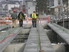
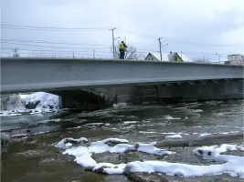
Services
Control Surveys
Property Surveys
Topographic Surveys
Construction Layout
Hazmat Surveys
GIS Services
3D Modeling
As-Built Surveys
Environmental Monitoring
Landfill Surveying
Details
- Year established: 2011
Highlights and features
- We offer 26 years of licensed surveying experience with advanced technical expertise.
- Our team holds multiple certifications, including 40-hour Hazwoper training for environmental projects.
- We specialize in 3D modeling and machine-guided construction layout services.
- Certified as a Women Business Enterprise and NYS DOT Disadvantaged Business Enterprise.
- Local Central New York focus ensures rapid response times and project familiarity.
Associations and certifications
- WBE (Women Business Enterprise)
- NYS DOT DBE
- EDWOSB
- DASNY
- City of Syracuse NY WBE
Services
Control Surveys
Control surveys establish precise horizontal and vertical reference points for projects requiring high accuracy. Our team uses advanced equipment to meet client-specific standards, ensuring reliable data for infrastructure, construction, and environmental projects. This foundational work supports subsequent surveying activities across diverse industries.
Construction Layout
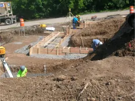
We provide construction layout services for commercial, residential, and industrial projects. Our expertise includes positioning consulting and machine-guided 3D modeling to ensure accurate implementation of design plans. Localized service in Central New York enables efficient multi-project management and rapid response times.
Hazmat/Environmental
Specialized surveying for hazardous material and environmental projects, including monitoring wells, soil borings, and landfill assessments. Our crews are 40-hour Hazwoper trained to safely execute grid surveys, quantity calculations, and compliance documentation for remediation and regulatory reporting needs.
GIS Services
Geographic Information System services from field data collection to digital mapping. We create detailed spatial datasets for land management, infrastructure planning, and environmental analysis, supporting informed decision-making for public and private sector clients.
Topographic Surveys
Detailed topographic surveys capture existing site conditions to support design and development. We deliver data in Carlson/AutoCAD or Inroads/MicroStation formats, ensuring compatibility with engineering software while identifying cost-saving opportunities for long-term construction projects.
People
Heather D. Warren
Professional Land Surveyor
Licensed since 1997 with 26 years of experience, Heather specializes in boundary surveys and project management. Her expertise ensures regulatory compliance and technical excellence across diverse land development projects.
James F. Ramie
Professional Land Surveyor
With 23 years of licensing experience, James focuses on construction layout and 3D modeling. His technical leadership drives precision in complex infrastructure and building projects across New York State.
Jason P. Ramie
Project Manager
As project manager with 18 years in surveying, Jason coordinates field operations and client communications. His organizational skills ensure timely delivery of large-scale land development initiatives.
Jason T. Grant
Project Manager
A 25-year veteran with US Marine Corps experience, Jason manages environmental and hazmat survey projects. His military background enhances safety protocols and team coordination in challenging field conditions.
Thaddeus Goff
Crew Chief
With 10 years of field experience, Thaddeus leads survey crews in executing topographic and construction layout assignments. His technical proficiency ensures accurate data collection under demanding timelines.
Questions
What types of surveying services do you offer?
We provide control surveys, property surveys, topographic mapping, construction layout, hazmat/environmental surveys, GIS services, and 3D modeling for commercial, residential, and infrastructure projects.
Are you certified as a minority/women-owned business?
Yes, we are certified as a Women Business Enterprise (WBE), NYS DOT DBE, EDWOSB, DASNY, and City of Syracuse NY WBE.
Do you handle environmental remediation projects?
Our team conducts environmental monitoring surveys for remediation sites, including grid layouts, monitoring wells, and quantity calculations with Hazwoper-certified crews.
What construction layout capabilities do you have?
We offer 3D modeling for machine-guided equipment, site staking, and positioning consulting for highways, buildings, and infrastructure projects across New York State.
How long have you served Central New York?
Since our 2011 merger, we've focused on Central New York, combining 25+ years of collective experience to serve local clients efficiently.
Can you work with digital design files?
Yes, we convert paper plans and CAD files into buildable 3D models compatible with Trimble and Topcon systems for precision construction guidance.