Business Details
25 Years
experience
Trusted Land Surveying Services in Newport News, VA
Michael Surveying & Mapping has been delivering professional land surveying services since 2001, serving architects, engineers, developers, and government agencies across Virginia and North Carolina. Our team of licensed surveyors brings over 60 years of combined experience, utilizing advanced technology like GPS and 3-D laser scanning to ensure precision in every project. We specialize in boundary surveys, topographic mapping, hydrographic studies, and utility designation, maintaining close client collaboration to address both current and future challenges. Our commitment to quality is reflected in our proactive approach, adherence to industry standards, and certifications in Virginia and North Carolina.With a focus on integrity and innovation, we provide tailored solutions that combine large-company expertise with small-business flexibility. Our reputation for reliability has been built through decades of consistent project delivery, earning trust among engineering firms, municipalities, and private clients. By integrating cutting-edge tools with traditional surveying principles, we ensure accurate data collection and efficient project execution. Our mission remains centered on creating long-term value through technical excellence and client-focused service. This dedication positions us as a trusted partner for complex land measurement needs in both commercial and residential sectors.
Services
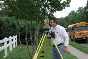
ALTA/ACSM Surveys
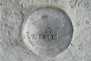
Boundary Surveys
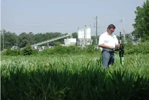
Topographic Mapping
Hydrographic Surveys
Utility Designation
Digital Terrain Modeling
Subdivision Design
FEMA Elevation Certificates
GIS Surveying
Construction Surveys
Details
- Year established: 2001
Highlights and features
- We offer 60+ years of combined experience in land surveying across Virginia and North Carolina.
- Our team utilizes cutting-edge GPS and 3-D laser scanning technology for superior accuracy.
- All projects are supervised by Virginia and North Carolina licensed professional surveyors.
- We provide tailored solutions through direct client collaboration and proactive problem-solving.
- Our reputation is built on integrity, consistent delivery, and adherence to industry standards.
Services
Boundary Surveys
Our boundary surveys precisely define property lines using advanced GPS technology and historical records. We deliver accurate legal documentation for real estate transactions, development projects, and dispute resolution. Clients benefit from our licensed surveyors' expertise in Virginia and North Carolina regulations.
Topographic Mapping
We create detailed topographic maps showing natural and man-made features using 3-D laser scanning and digital terrain modeling. These maps support construction planning, environmental assessments, and infrastructure development. Our data ensures precise elevation measurements and site analysis.
Hydrographic Surveys
Our hydrographic surveys map underwater terrain for coastal engineering and floodplain management. We use specialized equipment to measure water depths, shoreline boundaries, and sediment levels. This data supports dredging projects, bridge construction, and environmental monitoring initiatives.
Utility Designation
We locate and map underground utilities using ground-penetrating radar and electromagnetic detection. Our surveys prevent excavation damage and support safe infrastructure development. Clients receive detailed subsurface maps integrated with surface survey data for comprehensive project planning.
ALTA/ACSM Surveys
Our ALTA/ACSM surveys meet national standards for commercial property transactions. We combine boundary analysis, easement verification, and improvement mapping to produce title insurance-ready documentation. These surveys ensure legal compliance and minimize risks for developers and lenders.
People
Paul W. Michael, Jr.
President
Paul W. Michael, Jr. leads the firm with over 30 years of surveying experience. Licensed in Virginia and North Carolina, he specializes in boundary resolution and construction layout. His leadership emphasizes technical excellence and client-focused solutions.
Questions
What services does Michael Surveying & Mapping offer?
We provide ALTA/ACSM surveys, boundary surveys, topographic mapping, hydrographic studies, utility designation, GIS surveying, and construction layout services using advanced GPS and laser technology.
Are your surveyors licensed in Virginia and North Carolina?
Yes, all our projects are supervised by professional surveyors licensed in both Virginia and North Carolina, ensuring compliance with state-specific standards.
How does your firm handle complex surveying projects?
We combine 60+ years of experience with cutting-edge tools like 3-D laser scanning to deliver precise solutions tailored to each project's unique challenges.
What industries do you serve?
We work with architects, engineers, municipalities, developers, oil companies, and property owners on commercial, residential, and infrastructure projects.
How can I request a surveying quote?
Contact us via phone at 757.873.1762 or visit our Newport News office to discuss your project requirements and receive a customized proposal.