Business Details
35 Years
experience
Professional Land Surveying Services in Milford, OH
Founded in 1991, GJ Berding Surveying has established itself as a leader in professional land surveying services. As a Service Disabled Veteran Owned Small Business verified by the U.S. Department of Veterans Affairs, we combine military precision with technical expertise to serve clients across the Greater Cincinnati area, Northern Kentucky, and beyond. Our team maintains an average tenure of 15 years, ensuring continuity and deep institutional knowledge that benefits every project. We invest heavily in cutting-edge technology including GNSS systems, terrestrial and aerial LiDAR, and 3D laser scanning to deliver accurate, timely results. With prequalification for Ohio Department of Transportation and Kentucky Transportation Cabinet projects, our firm demonstrates technical excellence in infrastructure, construction, and right-of-way acquisition surveys.Our FAA-licensed UAS pilots expand data collection capabilities through aerial photogrammetry missions. Having completed thousands of projects over three decades, including high-profile assignments like the Cincinnati Reds Great American Ball Park and Ohio River Meldahl Dam, we maintain rigorous quality control through cross-checks against traditional survey benchmarks. Our specialized focus on surveying-only services eliminates overhead costs while enhancing technical proficiency. This singular dedication, combined with our investment in advanced equipment and experienced personnel, enables us to provide superior value to design firms, legal professionals, and construction companies requiring precise spatial data solutions.
Services
Surveying
Base Mapping
ALTA Surveys
Construction Layout
Infrastructure Surveying
3D Laser Scanning
Unmanned Aerial Vehicles
Details
- Year established: 1991
Highlights and features
- 30+ years of specialized land surveying expertise
- Service Disabled Veteran Owned Small Business certification
- Two FAA-licensed remote UAS pilots on staff
- Investment in GNSS, LiDAR, and 3D scanning technology
- Prequalified for ODOT and KYTC projects
Associations and certifications
- U.S. Department of Veterans Affairs (VA), Center for Verification and Evaluation (CVE)
Services
Land Surveying
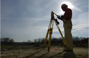
Our land surveying services provide precise boundary determination and topographic mapping for property acquisition and development. Using GNSS systems and traditional methods, we deliver accurate spatial data for legal documentation and construction planning. Clients benefit from our 30+ years of experience in resolving complex boundary disputes and supporting infrastructure projects.
3D Laser Scanning
We offer high-resolution 3D laser scanning for detailed documentation of structures and natural features. Our NavVis VLX system captures millions of data points to create precise digital twins for engineering and architectural applications. This technology enhances traditional surveying methods while reducing field time and improving data accuracy for complex projects.
Unmanned Aerial Vehicles
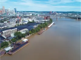
Our FAA-certified drone pilots conduct aerial photogrammetry missions to collect topographic data for large-scale projects. UAV technology provides cost-effective site mapping and progress monitoring for construction and infrastructure developments. We integrate aerial data with ground-based surveys to ensure comprehensive spatial analysis.
Construction Layout
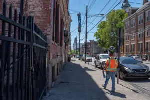
We provide precise construction layout services for building foundations, utilities, and infrastructure projects. Our surveyors establish control points and elevation benchmarks to guide construction activities. Clients rely on our accurate stakeout services to maintain project timelines and minimize costly rework during development phases.
ALTA Surveys
Our ALTA/NSPS surveys meet the highest industry standards for commercial property transactions. We identify boundary lines, easements, and improvements to support title insurance requirements. Clients receive detailed maps that satisfy lender and legal requirements for property acquisitions and developments.
People
Gerard Berding
Founder
Gerard Berding established the firm in 1991 after recognizing the need for specialized surveying services. His vision created a standalone surveying company that serves design, legal, and construction industries. He pioneered the firm's technical capabilities through early adoption of digital surveying technologies.
Dan Berding
Owner/Operator
Dan Berding leads daily operations with engineering expertise from Vanderbilt University and advanced studies at Virginia Tech. He has managed the firm's transition to 3D scanning and UAV technologies since 2012. His leadership maintains the company's commitment to technical innovation and client service excellence.
Questions
What surveying services do you specialize in?
We specialize in boundary surveys, ALTA/NSPS surveys, construction layout, 3D laser scanning, and UAV data collection. Our services support infrastructure projects, land development, and legal documentation requirements.
Are you certified as a veteran-owned business?
Yes, we're a Verified Service Disabled Veteran Owned Small Business through the U.S. Department of Veterans Affairs Center for Verification and Evaluation since 2012.
What geographic areas do you serve?
We primarily serve Greater Cincinnati, Northern Kentucky, and the I-71/I-75 corridor. Our capabilities extend throughout the Midwest and to select national projects for established clients.
How do you use drone technology in surveying?
Our FAA-certified pilots use drones for aerial photogrammetry missions that complement traditional surveying. This technology provides efficient data collection for large sites while maintaining survey-grade accuracy through ground control verification.
Can you handle transportation infrastructure projects?
Yes, we're prequalified for Ohio Department of Transportation and Kentucky Transportation Cabinet projects. Our experience includes right-of-way acquisition surveys, highway improvements, and rail corridor mapping since 2001.
How do I request a project quote?
Visit our website's Request a Quote page to select your survey type and submit project details. Our team will review your requirements and provide a customized proposal within one business day.