Business Details
Professional Land Surveying Services in Houston, TX
Lupher has been a trusted name in Texas land surveying since the late 1800s, rooted in a six-generation legacy of professional expertise. Our founders, Bob Lupher (30+ years experience) and Lee Lupher (10+ years experience), built upon mentorship from renowned surveyors like W.D. Twichell and Trigg Twichell, pioneers of the Texas state plane coordinate system and XIT Ranch boundary work. We specialize in boundary surveys, construction layout, and GIS mapping, serving public and private clients across infrastructure, transportation, and development projects. Our team holds certifications from the Texas Board of Professional Land Surveying, METRO SBE, and TxDOT, ensuring compliance with rigorous industry standards.With advanced equipment like Leica GPS and robotic total stations, we deliver precision for complex projects ranging from toll road interchanges to national park infrastructure. Our commitment to technical excellence and client collaboration has sustained long-term partnerships with entities like TxDOT, Harris County, and the Port of Houston Authority. We maintain OSHA and TWIC certifications, prioritizing safety and regulatory adherence across all operations. From historic ranch boundaries to modern urban developments, Lupher combines heritage with innovation to solve today's surveying challenges.

Services
Land Surveying
Boundary Surveys
Topographic Mapping
Construction Layout
GIS Base Mapping
Rail Surveys
Flood Plain Surveys
Aerial LiDAR Surveys
Highlights and features
- 30+ years of Texas land surveying expertise from certified professionals
- Advanced equipment including Leica GPS and robotic total stations
- Six-generation family legacy in Texas surveying innovation
- Certified by Texas Board of Professional Land Surveying (Firm No. 10193807)
- Proven track record with TxDOT, METRO, and Port of Houston projects
Associations and certifications
- Texas Board of Professional Land Surveying
- METRO SBE Certified
- Port of Houston SBE Certified
- TxDOT Survey Certified
Services
Land Surveying
We conduct comprehensive land surveys using advanced GPS and robotic total station technology. Our services include boundary determination, topographic mapping, and legal description preparation. With Texas Board-certified professionals, we ensure compliance with state standards for property development and infrastructure projects.
Construction Layout
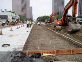
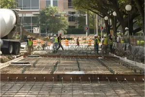
Our construction layout services provide precise field markings for building foundations, utilities, and infrastructure. Using digital terrain modeling software, we translate engineering plans into accurate physical placements. This ensures proper alignment and grading for commercial and municipal projects.
GIS Base Mapping
We create detailed GIS base maps integrating horizontal/vertical controls and utility data. These digital maps support urban planning, floodplain analysis, and asset management. Our team uses Autodesk and Carlson software to produce scalable, layered mapping solutions for large-scale developments.
Boundary Surveys
Our ALTA/TSPS boundary surveys establish legal property lines through historical record research and field measurements. We resolve disputes, support real estate transactions, and prepare documentation for title insurance. This service follows strict Texas Professional Land Surveying standards.
Aerial LiDAR Surveys
We perform aerial LiDAR surveys to capture high-resolution topographic data. This technology creates accurate 3D models for floodplain analysis, corridor mapping, and volumetric calculations. Our services support transportation planning and environmental impact assessments across Texas.
Questions
What areas do you serve?
We primarily serve Houston and surrounding Texas regions, including Harris County, Fort Bend County, and Montgomery County for land surveying projects.
Are you certified for public works projects?
Yes, we're certified by the Texas Board of Professional Land Surveying (Firm No. 10193807) and approved by TxDOT, METRO, and Port of Houston Authority.
What surveying technology do you use?
We utilize Leica GPS/RTK systems, robotic total stations, and digital levels, along with Autodesk and Carlson software for data processing and mapping.
How long have you been in business?
Our surveying expertise spans six family generations since the late 1800s, with current founders having 30+ and 10+ years of professional experience.
What project types do you handle?
We work on transportation infrastructure, commercial developments, municipal projects, and private land surveys including boundary, topographic, and construction layout services.